
How it works
Lake level in. Hazard paint out.
Five steps. One formula. Planning only — not a navigational aid.
01
Level
Read the lake.
LakeLens pulls a public water-surface elevation when you are online. Override it to walk a lower week before you launch. The number you are using stays on screen.

02
Bed
Download one file.
One public-domain topography file covers Lake Powell. Download it once. Hazard view then works across the lake without cell.
03
Paint
See depth and hazards.
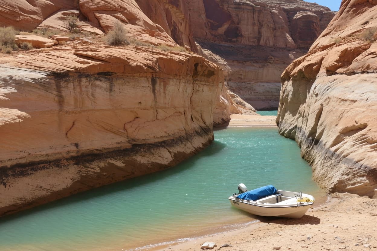
Depth is water elevation minus bed elevation, same vertical datum. Hazard view paints the bands. Zoom in and fill and isolines appear. Zoom out and they leave.
04
Plan
Pick the day.
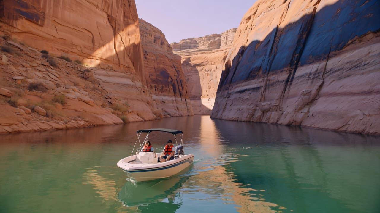
Places, ramps, weather, and a measure line sit on the same map. Draw a run. See a dry-leg warning if the math says that stretch is out of water.
05
Go
Take it offline.
The Powell file, last lake level, cached weather, and saved places stay on the device. The canyon will eat your radio. The map should not go with it.
Then it is your call.
Eyes on the water. Official charts when they apply. LakeLens is a planning overlay, not the helm.