
See What's Under the Surface.
A reservoir planning app that paints depth and hazards from the live lake level. For recreation — not navigation.
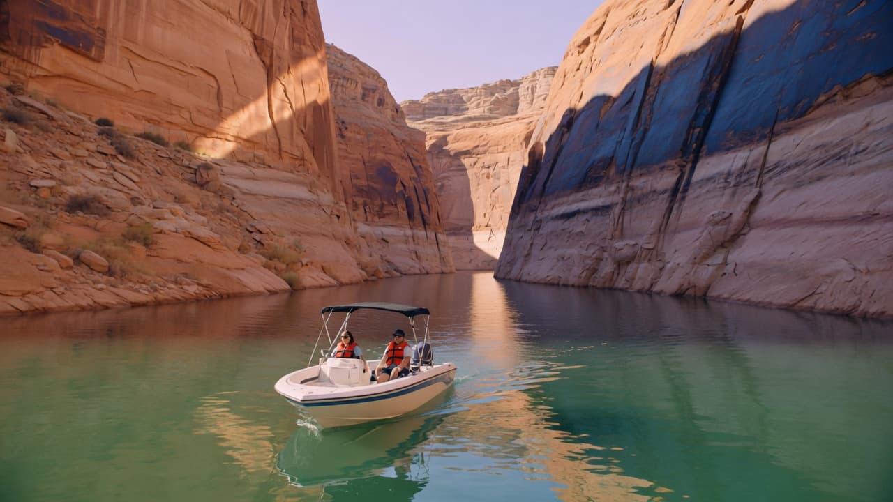
2-hour full trialiPhone and Android
- Depth is water elevation minus the lake bed
- One file covers Lake Powell
The problem
The lake you learned is not this lake.
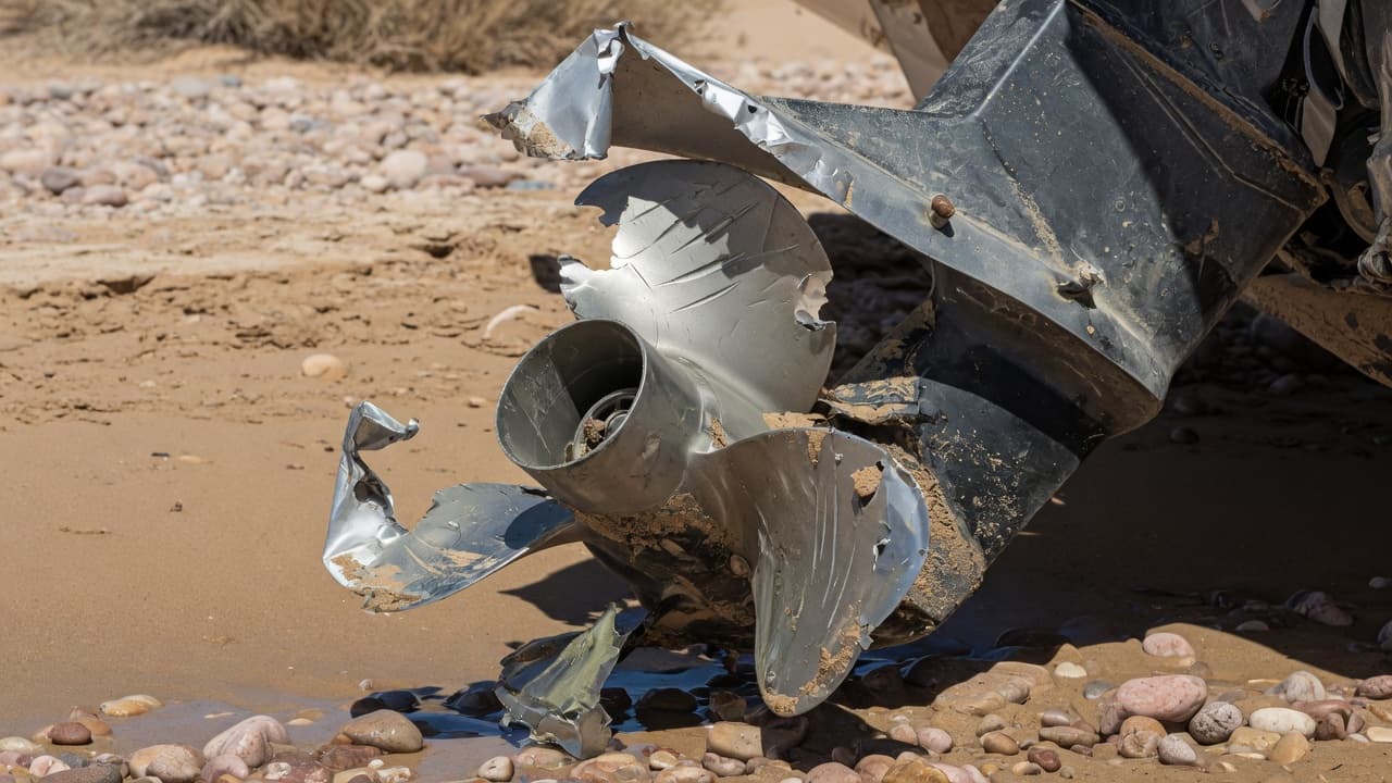
Reservoirs drop. A cove that was ten feet last June is a sandbar now. You do not see it until the prop or the hull finds it.
A bent blade. A cracked lower unit. A hole in the hull. That is how an unknown hazard ends a trip on a trailer.
On the water
What you get when the level is honest.
Hazard paint, places, weather, and a measure tool. One yearly plan. Nothing after the trial until you subscribe.
Hazard view
Red, navy, and yellow bands that move when the lake does. Hide them when you want a clean map.
Live lake level
A public gauge when you are online. A manual override when you want to simulate a lower pool.
One Powell file
One topography file. The whole lake. Download it once. Hazard view works offline.
Places and ramps
Canyons, mile marks, marinas, and ramp status next to the water you are actually on.
Measure the run
Distance, heading, and dry-leg warnings along a line you draw. Planning, not autopilot.
Weather that caches
Wind, forecast, and UV from public weather. Last good fetch stays when the canyon kills the radio.
How depth is made
One formula. Same vertical datum.
Depth equals water surface elevation minus bed elevation. The app shows the lake level you are using and lets you override it to plan a lower week.
Bed data is public-domain first. Credits live in the pack. This is still an estimate. It is not a survey, and it is not a chart.

Pricing
Two hours on the water. Then $19.99 a year.
One plan. Every feature. After the trial the app waits until you subscribe. Cancel anytime in the App Store or Google Play.
Common questions.
Is this a chart I can navigate by?
No. LakeLens is recreational planning only. Eyes, official charts, and local knowledge win. Depths are estimates from public bed data and the lake level you set.
Which lakes are covered?
Lake Powell first. One topography file covers the lake. Download it once and use it offline. More reservoirs come after Powell is solid.
Does it work without cell service?
Yes. Bed packs, last known lake level, cached weather, and saved places stay on the device. Live gauge refresh needs a connection.
What happens after the trial?
Two hours of the full app. Then a paywall until you subscribe. One plan: $19.99 a year, billed through the App Store or Google Play.
Take the lake as it is today.
LakeLens is coming to the App Store and Google Play. Until then, read how it works or write support.
Recreational planning only. Not a navigational aid. Official charts and your own eyes win.